
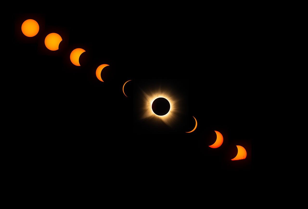
NASA teams collected a multi-level view of the total solar eclipse that crossed Greenland, Iceland and Spain on 12 August 2026, combining observations from the ground, a high-altitude research aircraft and the International Space Station.
Along the path of totality, the Moon briefly blocked the Sun and exposed its faint outer atmosphere, the corona. A NASA photographer in Spain documented the eclipse from its partial phases through totality and on to sunset. In northern Maine, where the eclipse was only partial, another photographer captured the International Space Station crossing the Sun at roughly five miles per second.
Astronaut Jessica Meir also photographed the event from orbit as the station passed about 262 miles above southern Quebec. At the eclipse peak from that viewpoint, the Moon covered approximately 18 per cent of the Sun.
Research above the clouds
NASA pilots flew a WB-57F research aircraft at around 50,000 feet, following the Moon’s shadow to extend observation time. Cameras aboard the aircraft recorded the corona and solar prominences in several visible and infrared wavelengths. Scientists will use those measurements to study the structure and behaviour of the Sun’s outer atmosphere.
Student teams in Spain and Iceland also launched instrumented balloons to examine how the sudden loss of sunlight and heat affected the lower atmosphere. NASA said the observations will support analysis of the 2026 event and preparations for the longer total eclipse expected over southern Spain and northern Africa in August 2027.